Little Tunk Pond
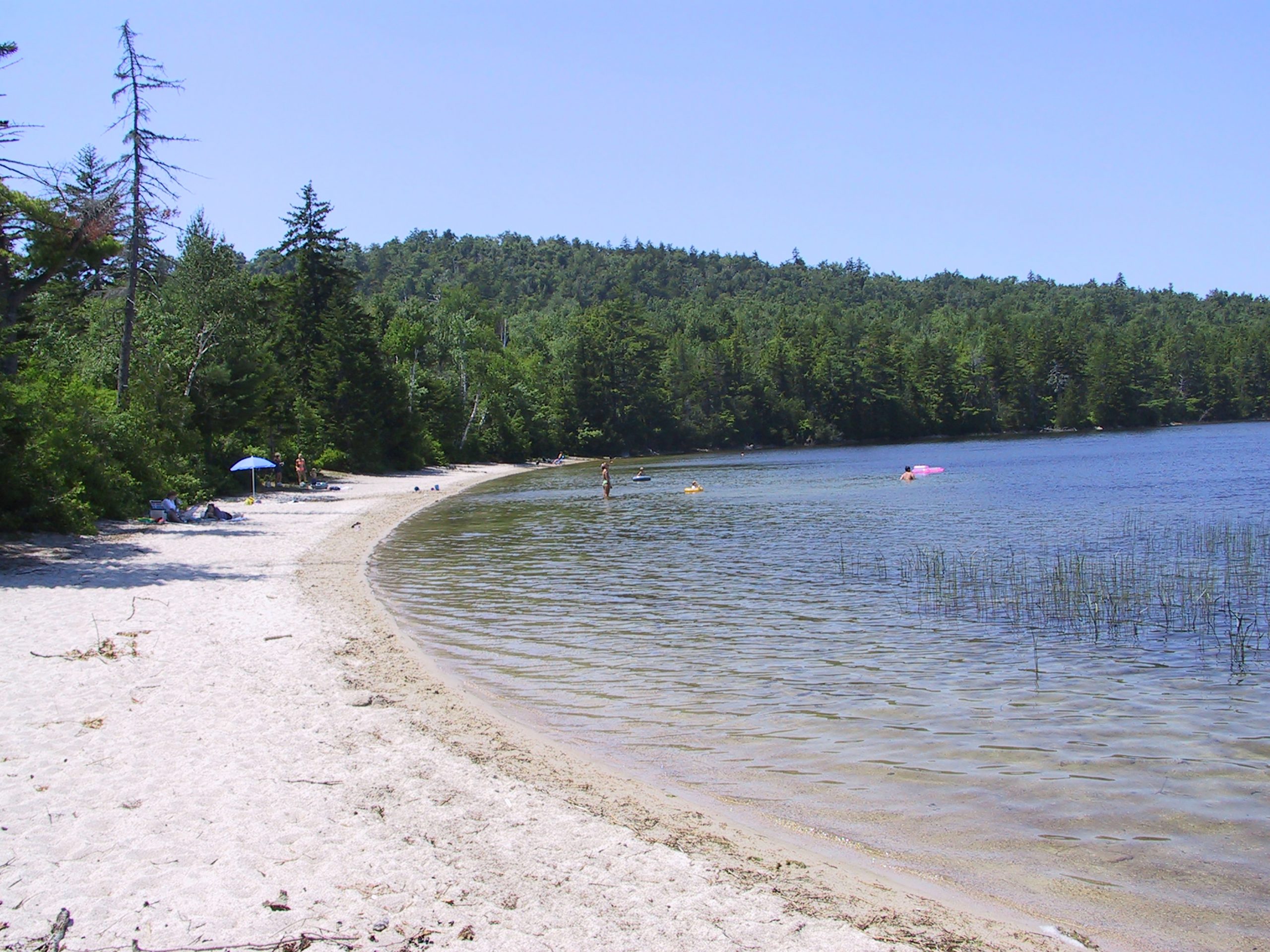
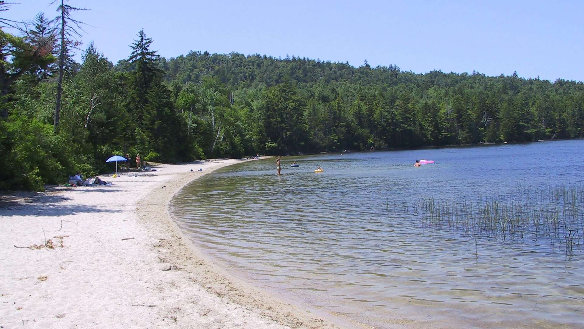
These 55 acres includes woodlands, abandoned fields, and a sand beach on the pond. Public access to the beach, where swimming is allowed, is by a 1/4-mile trail from a parking area near the road.
The property is being managed for restoration and protection of wildlife habitat, including extensive alder thickets which once sheltered woodcock. The property is protected by a conservation easement held by Maine Coast Heritage Trust and is part of the Tunk Lake Area Preserve.
In summer 2019, FBC staff and a Maine Conservation Corps crew rehabbed the trail at Little Tunk Preserve, removing trip hazards and making sure it’s built to last.
Trail Description
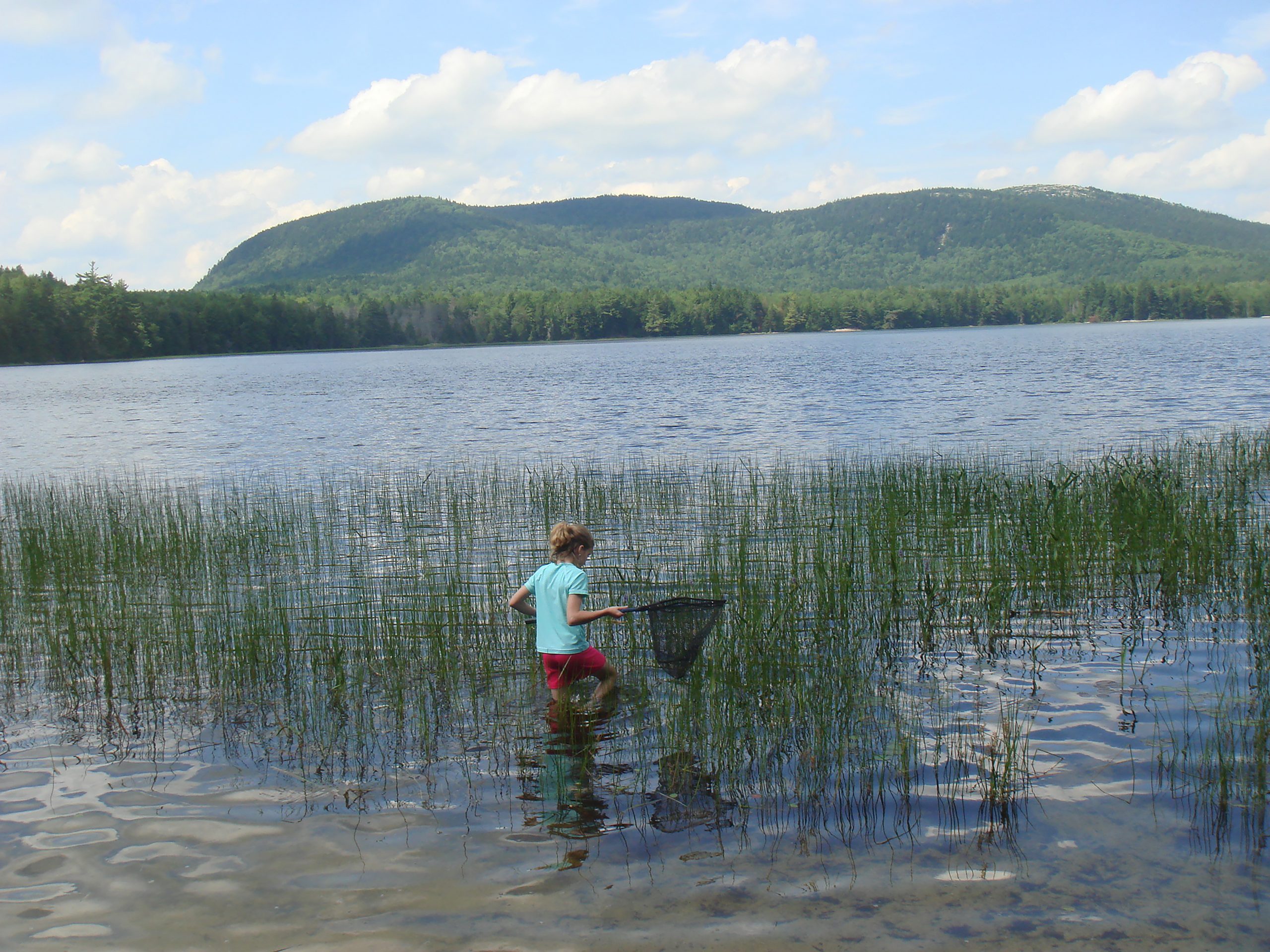
The pedestrian hiking trail goes straight to the sandy beach of this undeveloped pond.
Frenchman Bay Conservancy is committed to increasing the accessibility of our trails so that all people can enjoy the benefits of nature. As a first step, we have started developing detailed descriptions of our trails that include elements such as terrain, slope, trail width, rest areas, and more so that visitors can make informed decisions about whether a trail is a good fit for their abilities. Feel like something is missing from the description or have any observations to share that can make our trails safer or easier to navigate? Please let us know by emailing info@frenchmanbay.org or calling (207) 422-2328. We look forward to hearing from you!
Detailed Trail Description:
Little Tunk Pond’s parking lot off of route 183 holds roughly 10 vehicles, has level ground, and is wide enough to turn around. The Preserve’s kiosk and trailhead are located at the back of the parking lot, just off the gravel. The out-and-back trail begins in a grassy area that leads into the forest. The trail itself varies in width, with the narrowest point being approximately 1.5 ft. wide.
Long check steps have been added to the trail where it begins to have a slight gradual downhill slope. Each step has a 3ft landing packed with native soil, and a log that is submerged into the ground perpendicular to the trail, about 6” off the ground. The walk continues on a slight downward slope towards the pond until opening up to a sandy beach with views of Black Mountain in Donnell Pond Public Land. The sand on the beach is very fine and granular, stretching approximately 400 ft along the shoreline of Little Tunk Pond. The general consensus taken from visitor reviews is that this trail is considered to be an easy hike.
The closest bathroom to Little Tunk Pond is the Long Cove Rest Area in Sullivan Maine (GPS Coordinates: 44.515556, -68.186286). The vault toilet located at this rest area is open seasonally and is 6.7 miles southwest of Little Tunk Pond’s parking lot. We ask visitors to remember to practice Leave No Trace when visiting our preserves.
Directions
From the Sullivan side of the Hancock-Sullivan Bridge drive 4.4 miles on coastal Route 1N to Rte 183 (Tunk Lake Road). Drive north on Route 183 for 4.7 miles. Go past the Donnell Pond Public Reserve Land sign and about .25 mile on your left you’ll see the FBC Preserve sign and parking lot.