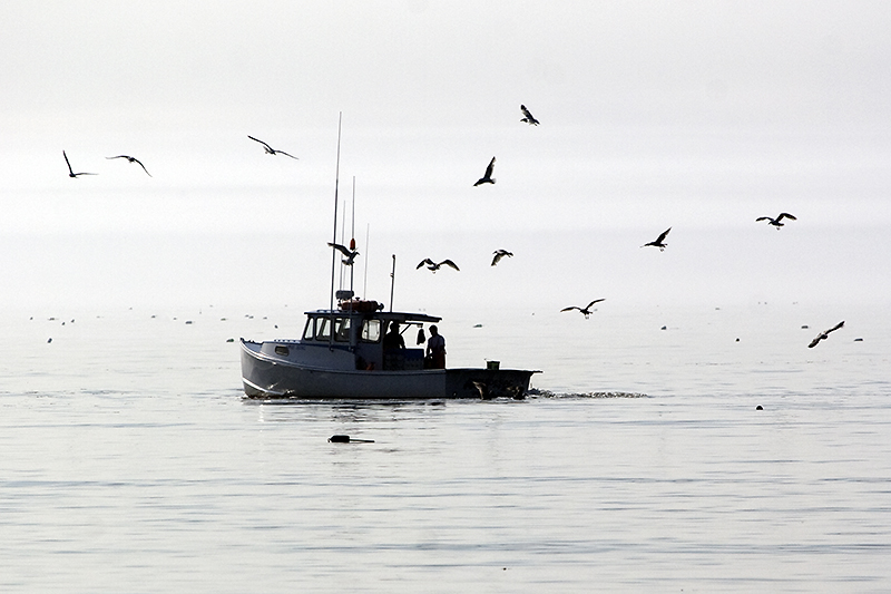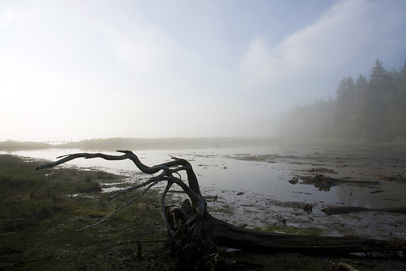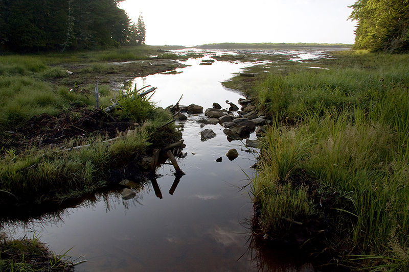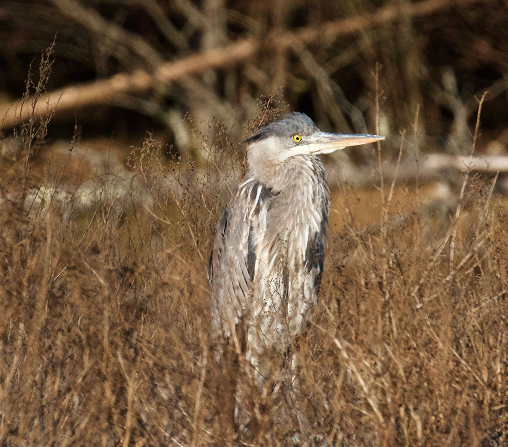
Salt Pond
A 17.9-acre preserve on the east shore of Hancock Point, including woodland, a tidal salt pond, and shore frontage on Frenchman Bay. FBC constructed and maintains a low-impact trail for public use.
Trail Description
This wooded trail on an 18-acre shorefront property leads to a salt pond with views of Sullivan Harbor and Frenchman Bay. On the east shore of Hancock Point, this trail explores woodland, a tidal salt pond, and Carter’s Beach. The trail ranges from 2-4ft in width and crosses over bog bridging. To make the short trail into a longer 1.7-mile loop, walk on Carter’s Beach Rd, Haskins Rd, and Point Rd. Use caution when walking along the roads.
Frenchman Bay Conservancy is committed to increasing the accessibility of our trails so that all people can enjoy the benefits of nature. As a first step, we have started developing detailed descriptions of our trails that include elements such as terrain, slope, trail width, rest areas, and more so that visitors can make informed decisions about whether a trail is a good fit for their abilities. Feel like something is missing from the description or have any observations to share that can make our trails safer or easier to navigate? Please let us know by emailing info@frenchmanbay.org or calling (207) 422-2328.
Detailed Trail Description:
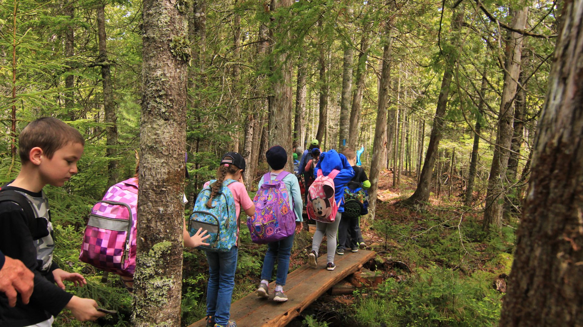
Starting at the parking lot along Hancock Point Rd, visitors will find the kiosk and trailhead at the bottom of a few small granite steps just off the road. The parking lot itself can hold roughly 2-3 cars. The trail which is outlined on FBC’s map continues through the woods on packed native soil with some wood chip fill. The trail is primarily flat but has lots of roots weaving over the path. The trail at its narrowest is 2-ft in width, at its widest 4-ft. There are some marshier sections that are crossed using 2-ft wide timber plank bog bridging. The general consensus taken from visitor reviews is that this trail is considered to be an easy hike.
An alternative route to reach Salt Pond Preserve is to start at the intersection of Haskins Road, Carters Beach Road, and Bay Ave. Visitors can park along the street. Carters Beach Road is hard packed gravel and is well suited for strollers and families, but be cautious of occasional passing cars. The road is very flat, with the steeper slopes at beach access points. At its widest the road is roughly 10 ft across, narrowing to 3ft towards the end where it turns to beach. Carter’s Beach is protected by Crabtree Neck Land Trust.
The closest bathrooms to Salt Pond are porta-potties located at Tidal Falls Preserve, available from Memorial Day to October. Tidal Falls is a 3.5 mile drive from the FBC Salt Pond trailhead. We ask visitors to remember to practice Leave No Trace when visiting our preserves.
Directions
Driving north on Rte 1 in Hancock, you’ll see the Hancock Grocery store on your right. Continue for 0.2 miles to Point Road to the right. Travel down Point Road for 3.8 miles along Point Road at a small turn-off on the opposite end of the trail. Alternatively, to start by the beach, continue an additional 0.4 miles on Point Road until you reach Wharf Road on the left. Drive down Wharf Road, turn left on Bay Avenue and park near the Hancock Point boat house and walk north along Carter’s Beach Road. The trail begins near the end of the road.