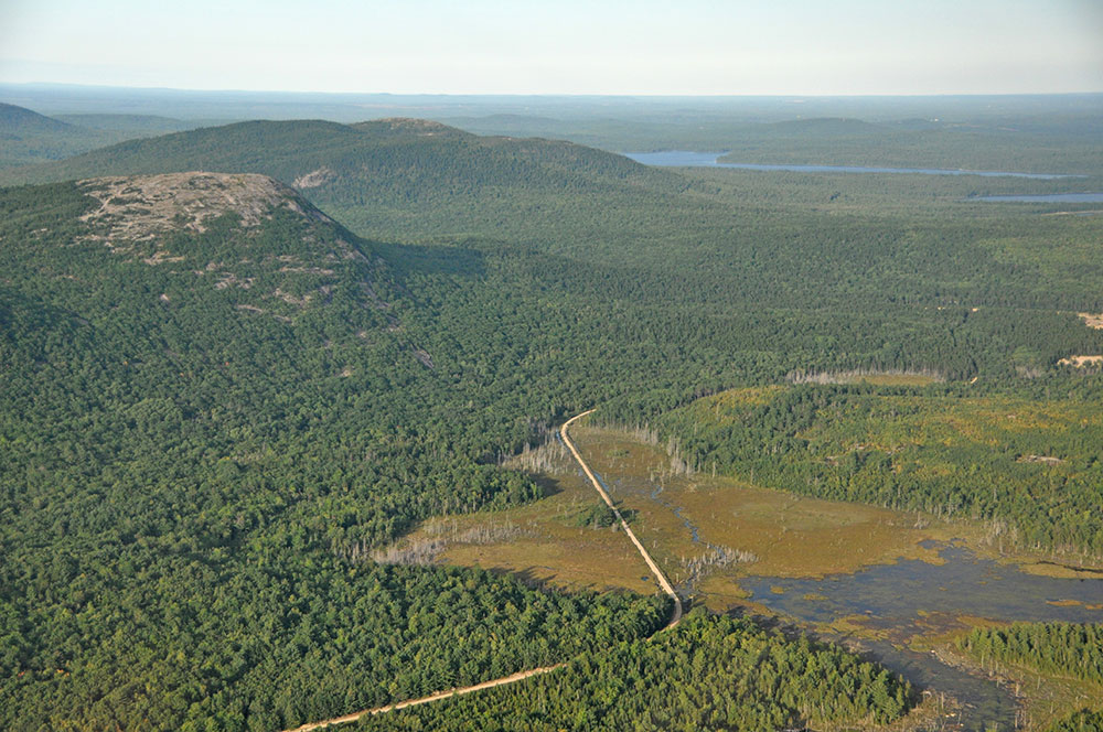
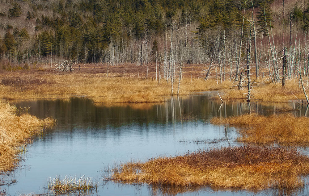
Schoodic Bog
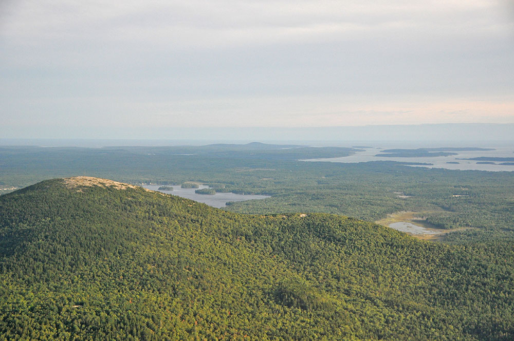
These 500 acres sit at the foot of the southern slope of Schoodic Mountain, including the 150-acre bog and surrounding upland. Trails connect with the trail system on the State of Maine’s Donnell Pond Unit.
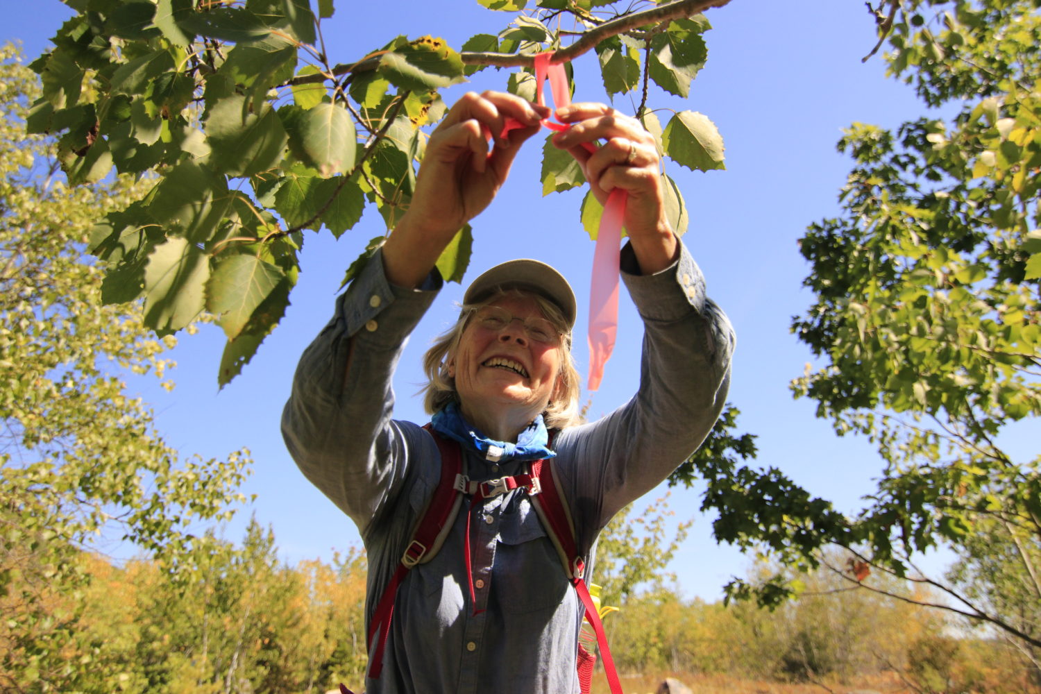
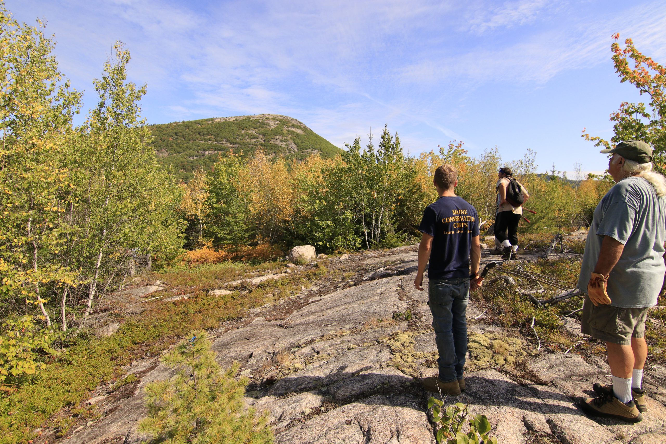
FBC’s steward and volunteer crew built a new trail on the east side of Schoodic Bog, forming a loop with the existing trails. The new trail is cleared and marked with flagging, but does not have blazes or bog bridging until further notice.
Trail Description
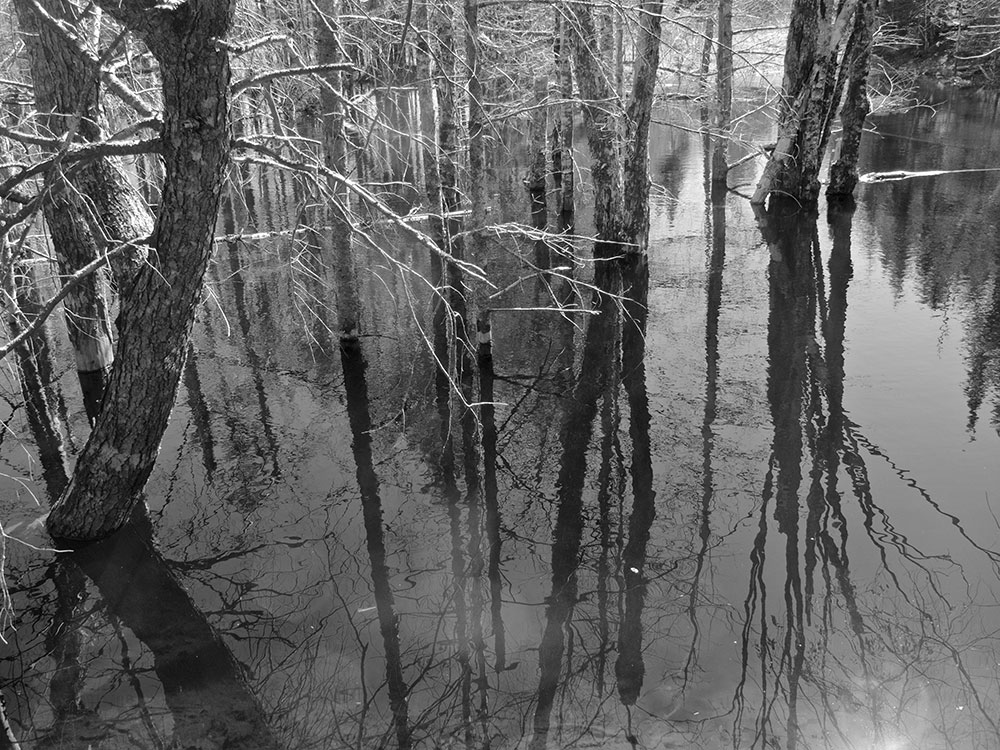
Hike west on gravel Schoodic Bog Road following the blue diamond FBC trail signs. At the top of the hill veer right and follow the blue diamonds to the Down East Sunrise Trail. Beavers may occasionally rearrange the trail. At the intersection, take a right and continue down the old rail bed (now a recreational trail) to cross the Bog.
Directions
From the Sullivan side of the Hancock-Sullivan Bridge on coastal Route 1, drive 3.4 miles, take a left on Punkinville Road (just before Sumner High School), drive 2 miles and bear left onto Punkin Ledge Road, then drive 0.7 mile to the Schoodic Bog Rd on your left. A short distance down Schoodic Bog Road, on the right, you’ll find a place to park.