Taft Point
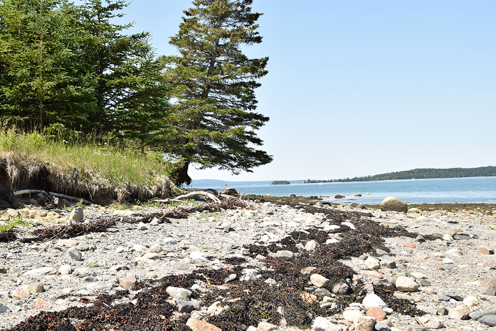
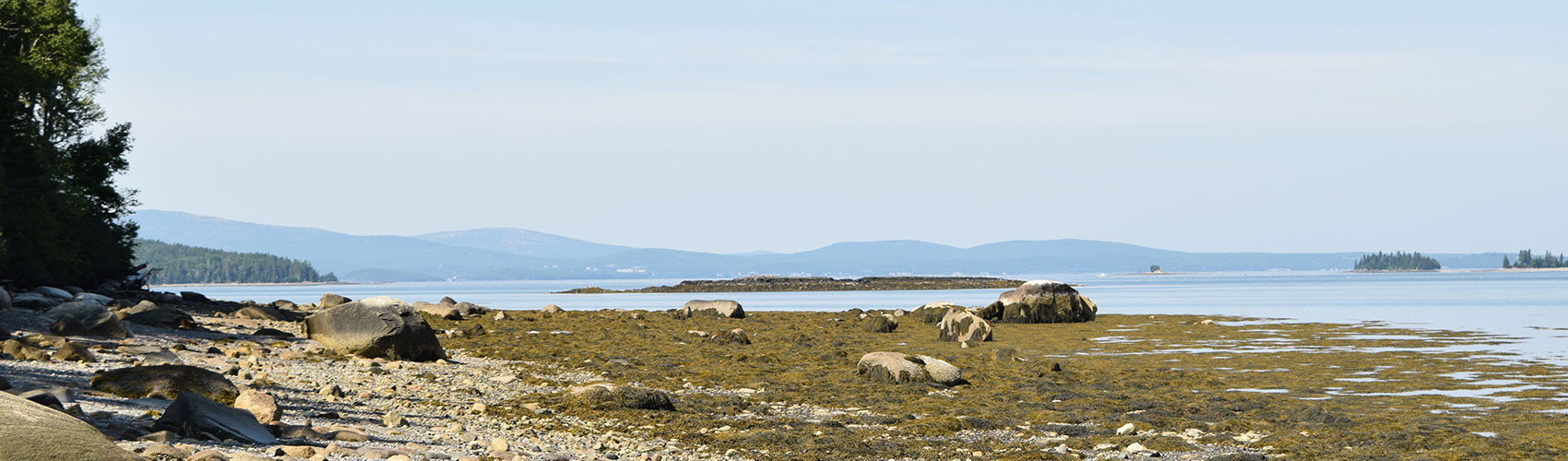
The conserved land consists of 65 acres of woodlands and a half mile of coastal frontage with spectacular views of the Acadia Mountains, Stave Island, Calf Island, Schieffelen Point and Schoodic Mountain.
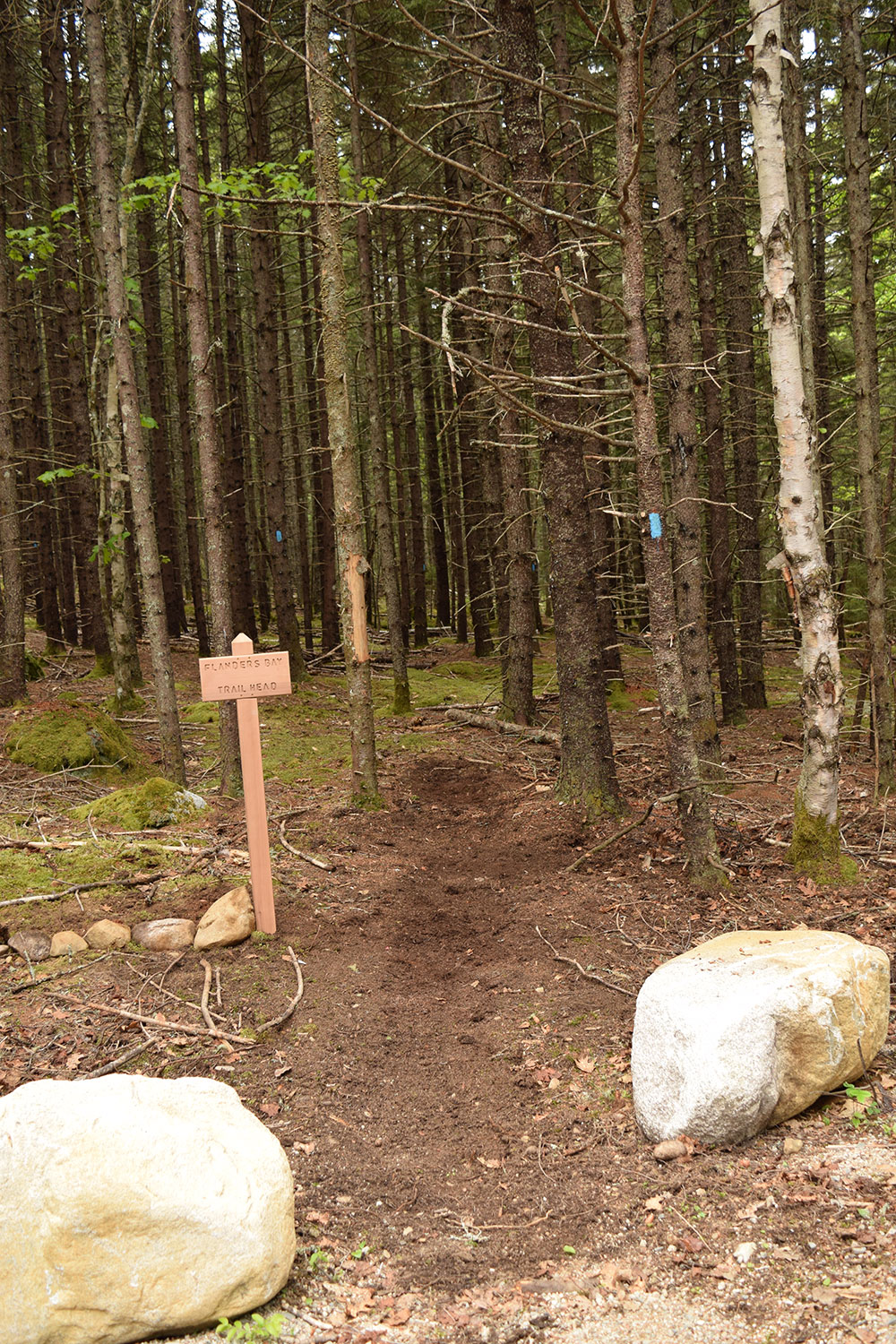
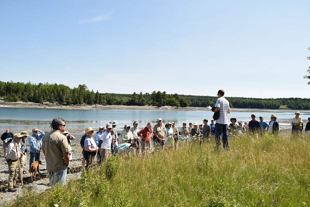
This preserve features two trail loops with beach access. Along the Flander’s Bay Trail, peer into an old well. At low tide, large areas of the rocky beach are open to explore. Eider ducks raft up on the rocks just off shore and shorebirds work the rack line of the extensive rockweed colony along the shore. FBC’s Taft Point Preserve was acquired as a gift from Jeremy Strater in 2014.
Trail Description
A well-maintained access road runs about 1,500 feet to a six car gravel parking area with a trail running down to Jones Cove from the left and a trail running to Flanders Bay on the right. Out of respect for the privacy of the cottage owners and their guests, public access on the road stops at the trail head parking lot.
Frenchman Bay Conservancy is committed to increasing the accessibility of our trails so that all people can enjoy the benefits of nature. As a first step, we have started developing detailed descriptions of our trails that include elements such as terrain, slope, trail width, rest areas, and more so that visitors can make informed decisions about whether a trail is a good fit for their abilities. Feel like something is missing from the description or have any observations to share that can make our trails safer or easier to navigate? Please let us know by emailing info@frenchmanbay.org or calling (207) 422-2328. We look forward to hearing from you!
Detailed Trail Description:
The driveway and six car parking lot for Taft Point Preserve is located off the Taft Point Road in Gouldsboro. This preserve has two trail loops, Jones Cove Trail to the northeast, and Flanders Bay Trail to the southwest of the preserve kiosk.
On the right side of the Jones Cove loop, the trail begins in a mossy forest and starts on a downhill incline. The path itself is on hard packed native soil, has an occasional root crossing over the trail and is about 3-4 ft in width. As the trail reaches the bottom of the hill, the path follows alongside a 5-8ft. dropoff to the ocean’s shoreline. The loop then heads back up the hill to reconnect to the parking lot. There is an additional trail that branches off from the loop, but it has been permanently closed. This loop is 0.9 mi in length, with roughly a 100 ft elevation gain.
Starting on the right side of the Flanders Bay loop, the trail begins similarly to Jones Cove, in a mossy forest on a path with native soil. This trail has a few more rocks and roots on the path, and also starts on a downhill incline towards the shore. Once reaching the bottom of the hill, a wooden staircase with hand railings is available for beach access. Past the staircase is a short boardwalk/bridge with a wooden bench to stop and appreciate the beach view. The loop trail then continues left away from the water, back uphill and has occasional bog bridging on this side. This trail is 0.9 mi in length, with roughly a 100 ft elevation gain.
The beach at Taft Point has a rocky coastline with views of Mt. Desert Narrows and Frenchman Bay. Nearby islands are also visible including Hog Island, Calf Island, Stave Island and distant Mount Desert Island. The closest bathroom to Taft Point is a public porta-potty that is located 3.2mi from the trailhead at Youngs Market, 130 US-1, Gouldsboro, ME. We ask visitors to remember to practice Leave No Trace when visiting our preserves.
Directions
From the North or the South on US coastal Rte 1, turn on to Maine Route 186 to Gouldsboro at the (brown) Acadia National Park / Schoodic Section entrance sign. Turn right onto Taft Point Road at 1.1 miles. Go .4 mile and turn right when the road splits.