Frances B. Wood
Frances B. Wood Preserve’s 438 acres sits above the Maine Coastal Islands National Wildlife Refuge on the West Bay. It protects the upland area of a watershed that contains significant tidal estuaries and mudflats.
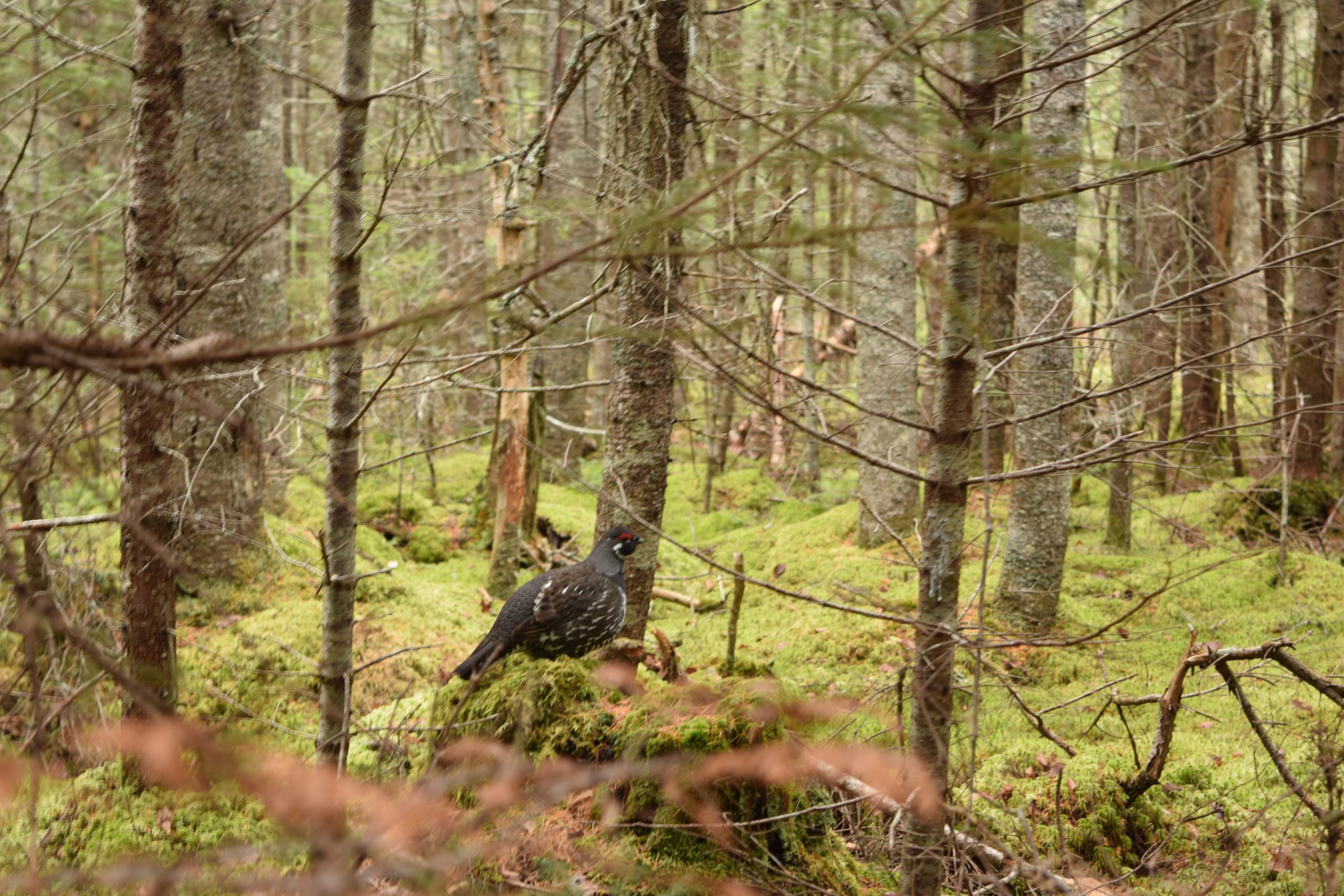
The FBC portion of this watershed contains small natural streams and bogs supporting deer, beaver, and bobcats, as well as moss and abundant communities of wildflowers. It is excellent warbler habitat. It is accessible from the Chicken Mill Road off Route 1 with some relatively easy walks up the old woods roads.
Trail Description
The 1.5-mile FBC trail loop from parking lot is marked with FBC blue diamond trail markers and blue paint blazes (or flagging). Beaver are very active in this area, so the trail route may change slightly from time to time. Allow 45 minutes for hiking.
Directions
From the Sullivan side of the Hancock-Sullivan Bridge drive 12 miles on coastal Route 1N to Chicken Mill Road on the right. Drive 0.4 mile and turn right onto Fletcher Wood Road. Drive 0.2 mile and take the first left (NWR sign Gouldsboro Bay Trails) onto a gravel road for 0.1 mile to the combined FBC and National Wildlife Refuge parking lot and kiosk with FBC sign on the left. The FBC Preserve and trails are to the left, and the National Wildlife Refuge and trails are on the right.